CMS-Relevant Missions
The following missions and instruments may contribute observations useful for prototyping carbon monitoring systems.
All of the following Missions and Instruments should enable major scientific advances for the further development of prototype carbon monitoring systems on land, air and sea.
Planned Orbital Missions
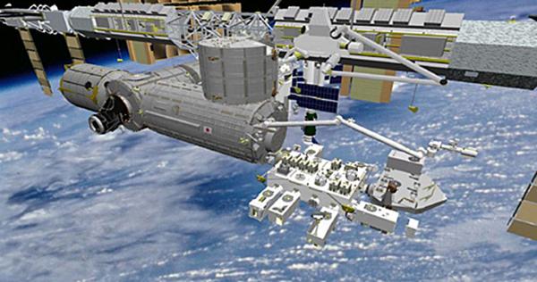
| GEDI—Global Ecosystem Dynamics Investigation Lidar |
| Launch: 2018 |
 |
| Platform: International Space Station |
| Status: Future, Formulation |
| Category: Venture Class, Earth Venture-Instrument |
| Instrument Plans: GEDI will use wave-form lidars to measure the three-dimension structure of forests for a two-year period. It is manifested for launch on SpaceX-18. |
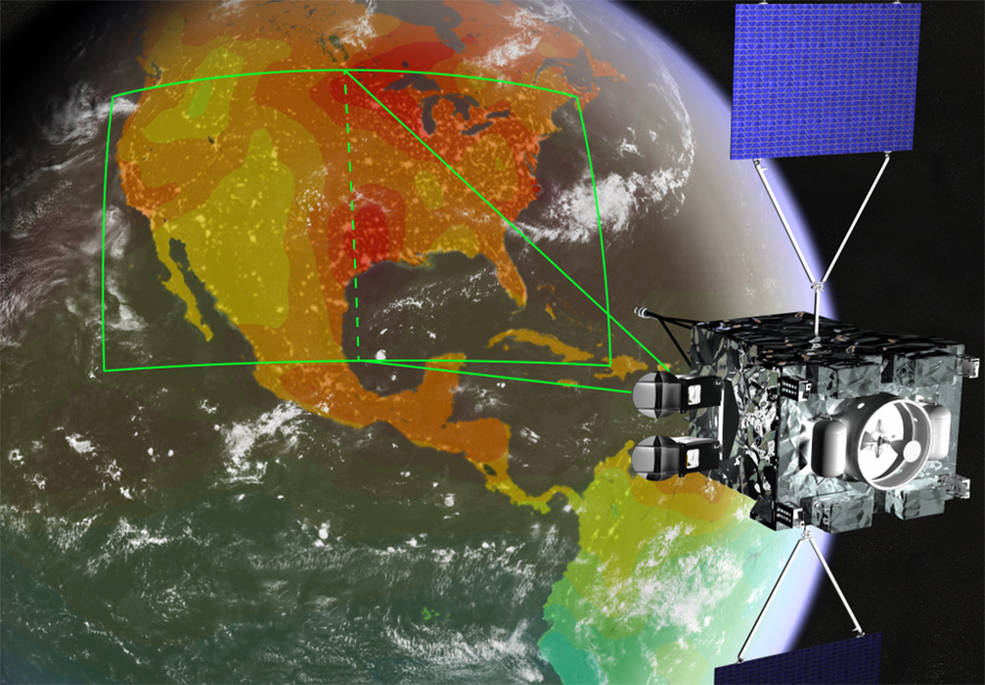
| GeoCarb |
| Launch: 2022 |
 |
| Status: Future, Formulation |
| Category: Venture Class, Earth Venture-Instrument |
| Instrument Plans: GeoCarb will pioneer the quantification and monitoring of the carbon stocks of North, Central and South America from geostationary orbit. The NASA instrument, to be launched on a commercial communications satellite, will collect 10 million observations a day of carbon dioxide, methane, and carbon monoxide from a geostationary orbit. |
| NISAR—NASA-ISRO Synthetic Aperture Radar |
| Launch: 2021 |
 |
| Status: Future, Pre-Formulation |
| Category: Earth Systematic Missions |
| Instrument Plans: NISAR is an L-Band and S-Band SAR satellite designed to measure forest biomass and map the extents of forest disturbance, wetland area, and agricultural croplands at global scales. |
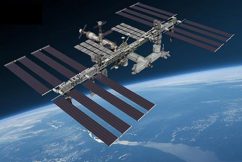
| OCO-3—Orbiting Carbon Observatory 3 |
|
| Launch: 2018 |
 |
| Platform: International Space Station |
|
| Status: Implementation |
|
| Category: ESSP, Other |
|
| Instrument Plans: OCO-3 is designed to collect the space-based measurements needed to quantify variations in the column averaged atmospheric carbon dioxide (CO2) dry air mole fraction, XCO2, with the precision, resolution, and coverage needed to improve our understanding of surface CO2 sources and sinks (fluxes) on regional scales (>=1000 km) and the processes controlling their variability over the seasonal cycle. |
| PACE—Plankton, Aerosol, Cloud, Ocean Ecosystem |
| Launch: 2022 |
 |
| Status: Decadal Survey 2007, Future Pre-Formulation |
|
| Category: Earth Systematic Missions |
|
| Instrument Plans: PACE will provide systematic observations and continuity for ongoing ocean color research, systematic observations of aerosol and clouds in the climate record, and enhanced ocean color remote sensing over a broad spectrum. |
|
Current Airborne Instruments
| ASCENDS—Active Sensing of CO2 Emissions over Nights, Days, & Seasons |
| NASA is honing new carbon dioxide measurement techniques and technologies from onboard its DC-8 aircraft during the Active Sensing of CO2 Emissions over Nights, Days and Seasons (ASCENDS) mission. The systems use lasers to measure the amount of carbon dioxide in the air between the instrument and Earths surface. Existing satellites use reflected sunlight to gauge carbon dioxide, so they only work in daylight conditions. |
 |
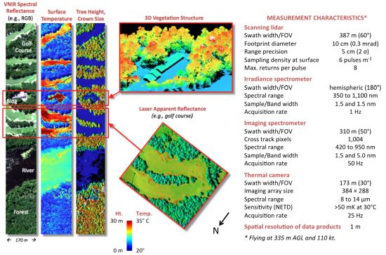
| LVIS—Land, Vegetation, and Ice Sensor |
| Platform: NASA C-130, Global Hawk |
 |
| A scanning laser altimeter instrument that is flown, by aircraft, over target areas to collect data on surface topography and vegetation coverage. |
|
| |
|
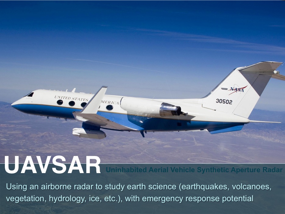
| UAVSAR—Uninhabited Aerial Vehicle Synthetic Aperture Radar |
| Platform: NASA Gulfstream III aircraft and eventually on uninhabited aerial vehicles. |
 |
|
Imaging radar instrument that collects key measurements of Earth deformation. When flown over the same area multiple times, it can determine how land features have changed. So far, it has been put to work studying climate change in the Arctic and examining Earth deformation after major earthquakes and volcanoes.
|
|