Using Remotely Sensed Data to Inform Chesapeake Bay
Restoration Policy Decisions
About Our Speaker
 |
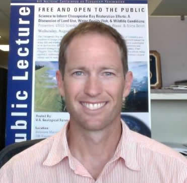
Mr. Peter Claggett is a Geographer with the U.S. Geological Survey’s Eastern Geographic Science Center. Mr. Claggett has received Master degrees in Geography and Environmental Science from Miami University of Ohio and a B.A. in Environmental Sciences from the University of California at Berkeley. Currently, he is pursuing a PhD in Geography and Environmental Systems at the University of Maryland, Baltimore County. Mr. Claggett started his career as a Peace Corps volunteer followed by positions with the U.S. Environmental Protection Agency and Canaan Valley Institute. For the past 12 years, Mr. Claggett has worked for the U.S. Geological Survey where he conducts research on land change characterization, analysis and modeling in the Chesapeake Bay watershed. |
About the Talk
The Chesapeake Bay is the largest estuary in the conterminous United States and among the most productive estuaries in the world yet the Bay and 90% of its tidal waters are impaired due to excessive nutrient and sediment pollution. At the turn of the 20th century, human activities had transformed the landscape of the Bay from mostly deciduous forests to agriculture. Over the past 65 years, the population of the watershed has more than doubled and associated urban development has been the dominant driver of land use change. To monitor such changes across 64,000 square miles, the Chesapeake Bay Program (CBP) partners have relied on land cover products derived from Landsat satellite imagery. More recently, however, high-resolution (1-5m) aerial imagery and LiDAR are being used to inform county-level restoration and planning decisions. The CBP Partners are now considering an initiative to monitor landscape change at higher resolutions. The uses of remotely sensed data to inform regional and county-level restoration decisions will be discussed in the context of the regulatory effort to clean up the Bay.
Slides
PDF of slides (To view transitions/animations that were lost in the conversion to the PDF format, please watch the recording.)
Recording
This talk was held at NASA Goddard Space Flight Center on March 24, 2015, as part of the Carbon Monitoring System Applications Policy Speaker Series.
For upcoming events, check out CMS Applications Policy Speaker Series.
Your suggestions for future speakers or feedback about our series are welcomed. Contact the Applications Team.
- NASA Official: Jon Ranson
- Curator: Leanne Kendig
