Enhancing Chesapeake Bay Restoration with High-Resolution Landscape Data Recording & Slides

Recording >>
|
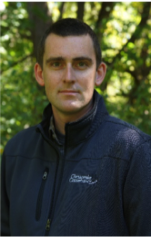
 Jeff Allenby |
About the SpeakerJeff Allenby is the Director of Conservation Technology in the Chesapeake Conservancy, a non-profit organization based in Annapolis, MD. His team in the Conservation Innovation Center explores new methods to improve the effectiveness and efficiency of the Conservancy’s projects and focuses on developing new ways to empower partner organizations. Before joining the Conservancy, Jeff worked with the University of Maryland Center for Environmental Science and the Maryland Department of Natural Resources, managing a competitive grant program focused on local governments' response to climate change and coastal hazards. Jeff has a Master’s of Environmental Management and Certificate in Geospatial Analysis from Duke University and a Bachelor’s of Science from the University of Richmond. |
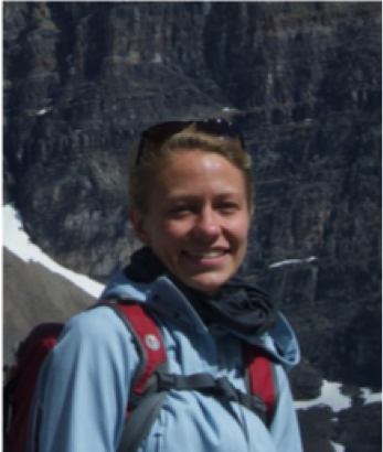
Cassandra Pallai |
About the SpeakerCassandra Pallai is the Geospatial Program Manager for the Chesapeake Conservancy’s Conservation Innovation Center. She collaborates with government agencies, universities, other NGOs, and private businesses to understand challenges and explore ways to advance the efficiency and effectiveness of conservation and restoration programs. Some of her team’s current projects include identifying sub-parcel scale opportunities for maximizing restoration benefits and leveraging emerging technologies to expedite creation of land cover datasets. A native of Youngstown, Ohio, Cassandra earned her undergraduate degree in economics and environmental science from Cleveland’s Case Western Reserve University, and began her career working on Great Lakes and then Rappahannock River water quality improvement efforts. She holds a Master's of Environmental Management with a concentration in Ecosystem Science and Conservation, as well as a Geospatial Analysis Certificate, from Duke University. |
About the Talk
|
For upcoming events, check out CMS Applications Policy Speaker Series.
Your suggestions for future speakers or feedback about our series are welcomed. Contact the Applications Team.
- NASA Official: Jon Ranson
- Curator: Leanne Kendig

