Putting data to work – challenges and practical approaches to bring remotely sensed data into land use planning in the developing world

Recording >>
|
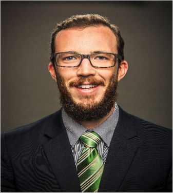
 Kevin Brown |
About the SpeakerKevin Brown is a senior geospatial analyst with Winrock International's Ecosystem Services team. Kevin advises a number of developing country governments in Africa and SE Asia, at the national and subnational level, on cost effective and scientifically sound approaches to deploying geospatial data on land use planning. In recent years, examples of Kevin's works include leading a participatory land use planning process Madang province Papua New Guinea; reference level for REDD+ establishment in Malawi, Ghana, Vietnam; Guyana; and technical design of the Cambodia 'WESTool' web-based ecosystem service evaluation platform. Kevin helps countries narrow the capacity and knowledge gap between the need achieve internal and international climate and land use objectives, and the current state of remote sensing and geospatial technology. Kevin holds Master's degrees in Environmental Spatial Informatics and Russian Studies from the University of Michigan, and a BA in Russian Studies from The Evergreen State College. |
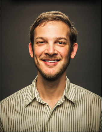
 Gabriel Sidman |
About the SpeakerGabriel Sidman is a Geospatial Analyst with Winrock International, responsible for completing spatial analyses in GIS software and conducting spatial watershed modeling studies to quantify greenhouse gas emissions and removals related to forest landscapes. He focuses on using spatial tools to support jurisdictional and national REDD+ programs to quantify areas of deforestation, forest degradation and reforestation efforts, helping design innovate measurement approaches while working with and building capacity within REDD+ implementing countries. He has played a major role in the formation of reference levels for several Emissions Reductions Programs and contributed to the formation of reference levels submitted to the United Nations Framework Convention on Climate Change. He has also contributed to scientific publications that use existing spatial datasets to quantify the global magnitude of forest degradation emissions. Gabriel holds a Master's in Watershed Management from the University of Arizona, and a BA in Environmental Studies from Connecticut College. |
About the Talk
|
For upcoming events, check out CMS Applications Policy Speaker Series.
Your suggestions for future speakers or feedback about our series are welcomed. Contact the Applications Team.
- NASA Official: Jon Ranson
- Curator: Leanne Kendig
