Our Resources
Satellite Remote Sensing
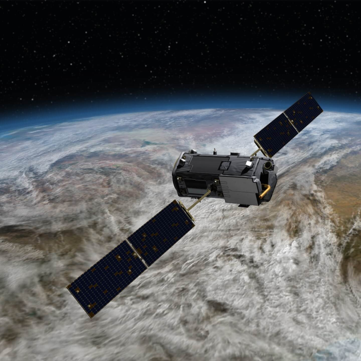
Earth Observation (EO) refers to the use of satellite remote sensing technologies to monitor land, water and atmosphere dynamics. CMS projects incorporate a suite of NASA missions and instruments in their prototyping of carbon monitoring systems.
Satellite remote sensing information helps CMS projects monitor and evaluate the impact of humanity on our environment, by observing environmental change, the impact of global humanitarian disasters and of economic development. They provide essential information on a vast number of areas, including; ocean salinity, ice thickness, crop health, atmospheric change, and air quality.
Scientific Knowledge

Initiated in 2010, CMS is one of the most ambitious and relevant science initiatives to date which provides scientific knowledge and prototyping capabilities for the global carbon cycle. Local, state, national, and international policies are in discussion and under development to reduce greenhouse gas emissions in the future. Foundational to these efforts is the scientific ability to accurately measure, and model, carbon stocks and fluxes throughout the Earth system and across a range spatial and temporal scales.
Scientists funded by CMS are exploiting the satellite remote sensing resources, computational capabilities, scientific knowledge, airborne science capabilities, and end-to-end system expertise that are major strengths of the NASA Earth Science program.
Operational GHG Products
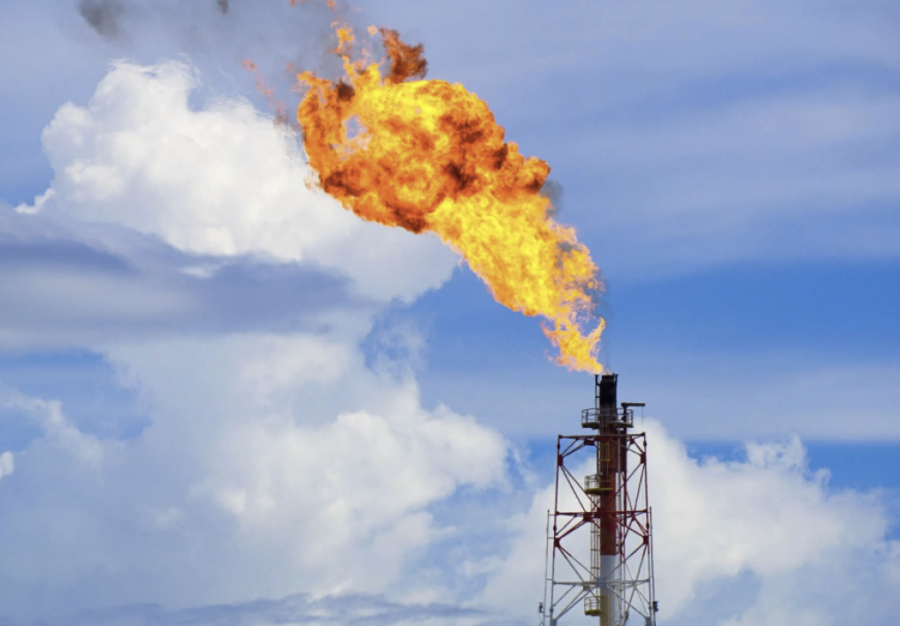
NASA CMS contributes models, data and information to the new U.S. Greenhouse Gas Center, a multi-agency demonstration program that explores and analyzes datasets to support decision makers. The US GHG Center is piloting three areas of study, including global gridded anthropogenic gas emissions, natural sources and sinks, and high resolution methane emissions. CMS contributes to framing the analysis, models and science underpinning the Center’s work.
Modeling Expertise
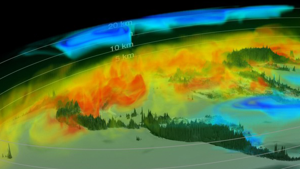
Models are used extensively across CMS projects. Mechanistic ecosystem modeling leverages high resolution lidar and optical remote sensing data to map current stocks and estimate future storage potentials for use in planning scenarios. Carbon cycle inversion models, which infer surface-atmosphere flux from atmospheric measurements, have been a central component of CMS. Satellite observations of ocean phytoplankton photosynthesis, forest and crop canopies, nighttime lights from cities, fire and smoke emissions, among other surface parameters are used as input to data-driven models that provide information on carbon emissions and absorption on the Earth. This suite of modeling tools can be used to attribute corrected carbon emissions to specific processes including both human activities as well as natural processes.